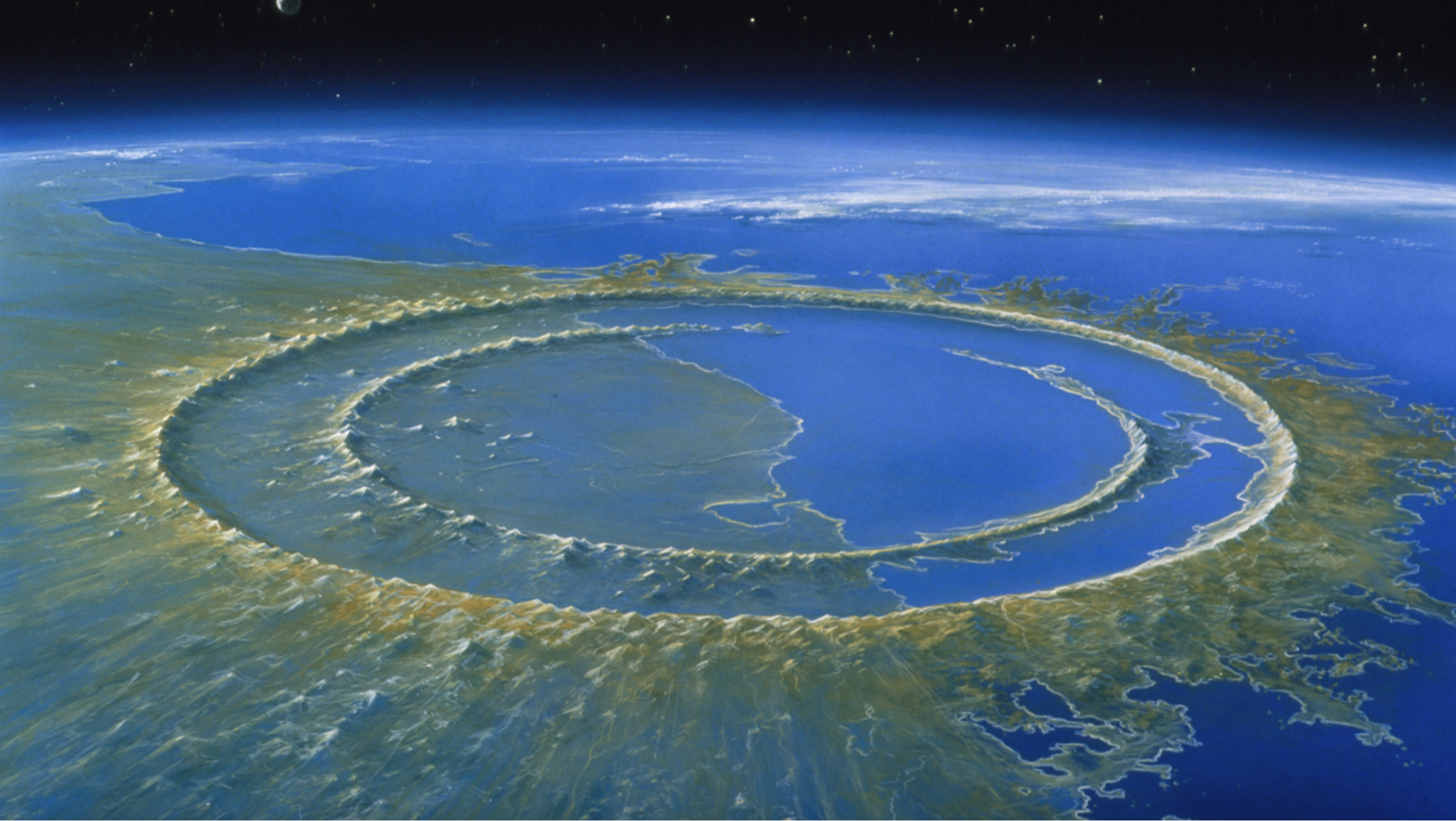
The Chicxulub Crater, located beneath and off the coast of Mexico’s Yucatán Peninsula, represents not just a step towards the development of our present-day life system post-K-Pg extinction, but also an area of sophisticated mineralization, lithification, seismic profile, and bathymetry. After extensive work with the p190 nav files, to create internal consistency with EIVA bathymetry data and the gyro data, we analyzed each of the four 3D multichannel seismic (MCS) volumes collected by the R/V Justo Sierra (2019-72B), to better understand the study area’s system of peak ridges; the network of peak ridges around the marine portion of Chicxulub Crater defines a step in the progression of the impact, where the oceanic crust underwent plastic deformation and shock mineralization.